Monterey Visibility Explorer
Hindcast
Visibility signal
Weather Inputs
Visibility drivers
Human Observations
| Date | Site | Visibility | Source | Quality |
|---|
No human observations in this 14-day window.
Model Report
How Good Is It?
| Mode | Best model by within 5 ft | Exact 1 ft | Within 5 ft | Baseline comparison | Validation |
|---|
What This Is
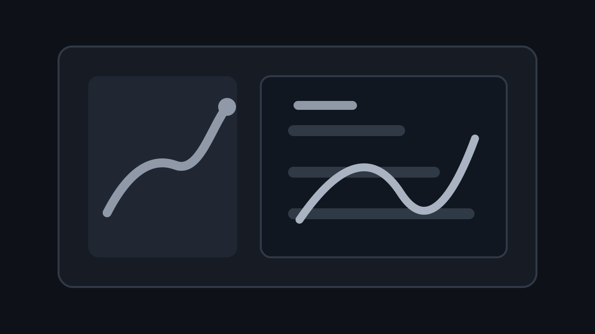
This is a historical conditions research tool for Monterey scuba visibility, not a live forecast. Pick a past start date, site, model mode, and algorithm; the tool shows a 14-day hindcast as a smooth prediction line, an estimated range derived from model validation performance, daily numeric date labels, and the weather variables pushing the run up or down.
The public location set is intentionally compact: Point Lobos overall, Point Lobos inside the cove, Point Lobos outside the cove, and San Carlos Beach / Breakwater. Human reports are the only point markers on the chart and are listed below it. Hover details include the source comment and author when available; raw Discord exports, IDs, attachments, and Subsurface files stay local.
Data And Modeling
The static artifact combines human observations with source comments, NOAA buoy history, existing local ERDDAP-style ocean proxy extracts, and model/backtest summaries generated offline. The page makes no live browser calls to external services, and proxy scores are treated as environmental agreement rather than real-world visibility accuracy.
Model options include seasonal climatology, a transparent environmental heuristic, historical analog matching, random forest, gradient boosting, and a calibrated ensemble.
The explorer UI now shares the refreshed site theme with the rest of griffinsoule.com: a compact scenario command bar, a mobile-safe primary chart workspace capped at 50ft+, a model-context rail, weather-driver cards, warm dark data panels, responsive tables, and dense coverage strips that stay inside the phone viewport.